.jpg?width=1400) SampleIA
SampleIA$12.5M
3 photosStory County, IA
Premium row-crop farmland (illustrative)
- Size
- 2,410 acres
- Water
- Tile-drained · 100% tillable
Profit · Exceptional · 87/100est. annual
- Corn · Soybeans · ~$1200/ac
- Soil class 2 · Well drained
- Water within 1 mi

Browse the catalog · free · no sign-up
Every parcel ranked by price — highest first — with USDA/USGS profit signals on the card. Free to browse, no paywall, no sign-up.
8 parcels · signal data as of 2026-09-14
8 of 8 parcels
Where the land is
Hover a pin for a peek · click to open the full profile
SampleIA$12.5M
3 photosPremium row-crop farmland (illustrative)
.jpg?width=1400) SampleCA
SampleCA$8.9M
3 photosEstate vineyard, Napa Valley (illustrative)
 SampleTX
$6.25M
2 photosWorking cattle ranch (illustrative)
 SampleCA
$4.4M
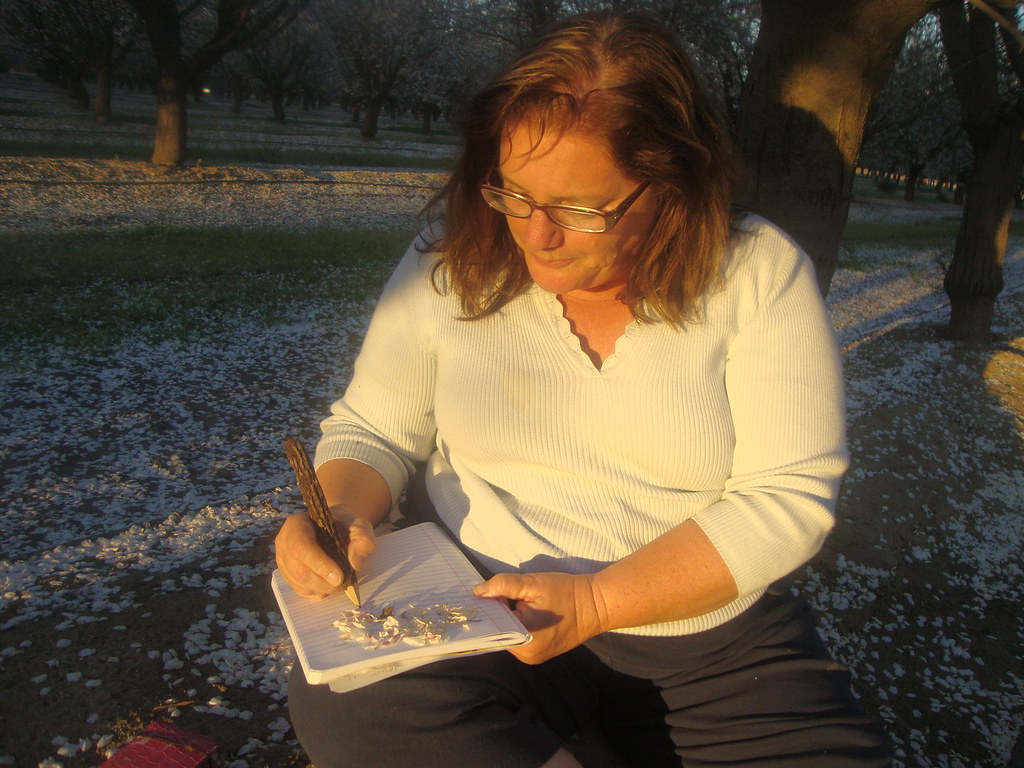
3 photosAlmond orchard (illustrative)
.jpg?width=1400) SampleMS
SampleMS$2.75M
3 photosCotton & rice farm, Mississippi Delta (illustrative)
 SampleCO
$1.475M
3 photosIrrigated cattle pasture (illustrative)
 Gov. sale noticeNV
Minimum bid (FMV)
2 photosBLM public land sale — 11 parcels, Las Vegas Valley (Clark County, NV)
 Gov. sale noticeNV
Minimum bid (FMV)
2 photosBLM public land sale — 7 parcels, Lincoln & White Pine Counties, NV
Realtor, auctioneer, or landowner?
Put your parcel in front of serious national buyers. Submit a listing free — we review it before it goes live.
The profit question
Every score (0–100) combines three public, key-free USDA/USGS signals — and we name them, so you can check the math yourself.
County crop value per acre from the National Agricultural Statistics Service — the earning power of the local farm economy.
NASS QuickStatsSSURGO soil surveys classify drainage and land capability — the quiet reason some fields out-earn their neighbors.
NRCS Soil Data AccessDistance to the nearest live stream gage from the National Water Information System — water is the asset behind the asset.
USGS NWISScores are directional estimates for browsing — soil surveys and stream-gage proximity describe the land, they are not appraisals and not a guarantee of income. Enrichment runs automatically from the public sources above; farm-level crop estimates update as USDA NASS publishes them.
Free, on purpose
Fully free, full stop — no paywalls for buyers or sellers.